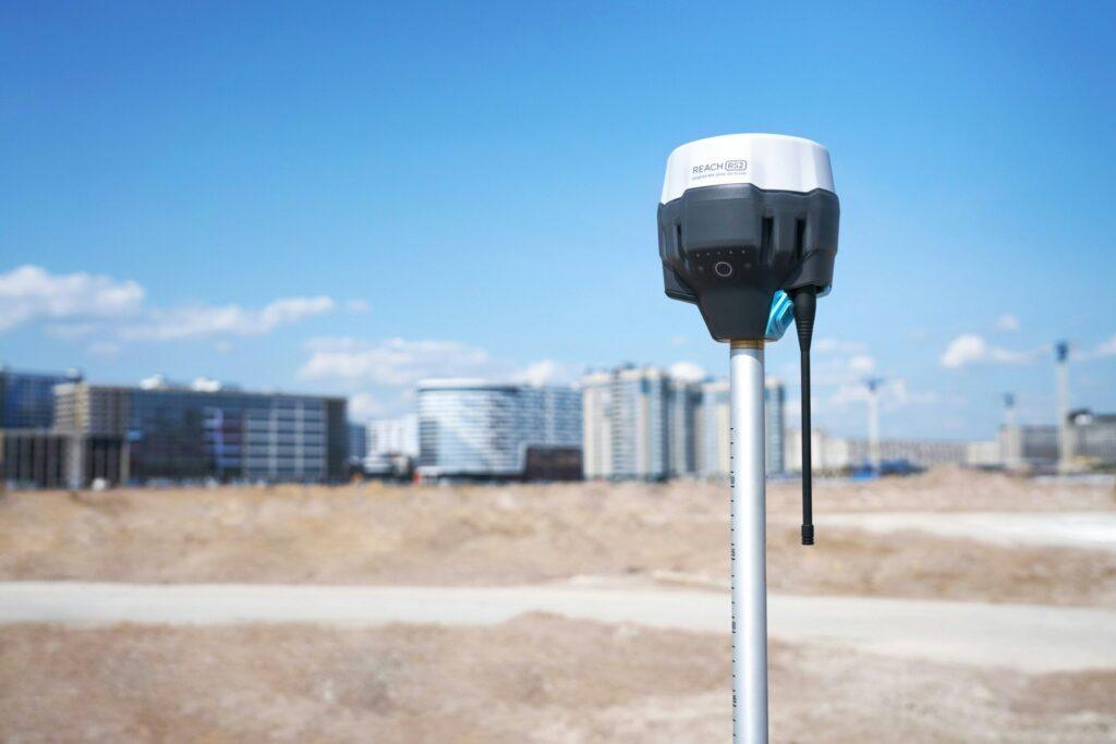
GIS (Mapping)
GIS Expertise for Organisations
Trusted partner for GIS solutions from both the public and private sector to unlock the power of geographical data!
We help public and private organisations visualise and analyse geographical data with precision. Our intuitive GIS tools and experience simplify complex mapping for urban planners, environmental scientists, and data analysts.
Our Expertise
At Concise, we leverage our GIS expertise to create tools for precise mapping, visualisation, and analysis, enabling users to manage and interpret geographical data effectively. Whether for urban planning, environmental monitoring, or spatial analysis, our solutions ensure accuracy and sustainability.

Our Approach to GIS Solutions
Our aim is to have our GIS solutions integrate seamlessly with existing client workflows. This helps our clients to provide accurate mapping, detailed visualisations, and comprehensive analysis in their projects.
- Precise Mapping
- Data Integration
- Urban Planning
- Environmental Monitoring
- User-Friendly Interface
- Terrain scanning and object detection
- Customizable Solutions
Need some inspiration? Find food for thought below.
Browse some thought-provoking articles and posts on the topic or check the full list of insights for inspiration.

Developer Productivity Team removes obstacles from the developer’s path

Scaling Change Across Engineering: How Concise Helped Arrive Automate a Fleet-Wide ECR Migration and Save 1,000+ Developer Hours

Insurtech: an untapped competitive advantage in the insurance sector
References
Feedback from our clients
Hear what our clients have say about us
Contact
Get in touch with us!
Contact us to get quick insights, how could our partneship support your growth or eliminate challenges.
